The US is braced for its second winter storm in a month with forecasters warning of more heavy snow, freezing temperatures and flooding.
Blizzards and gale-force winds will strike across the central United States, across the US Plains and Midwest, running from the Rockies to the Great Lakes from Wednesday into Thursday.
The National Weather Service said some areas of western Minnesota and southeast South Dakota could see up to 2.5ft (30in) of snowfall.
It comes less than a month since the last severe weather blast unleashed heavy rain and snow on large areas of the US and caused billions of dollars of damage.
The extreme weather phenomenon – known as a "bomb cyclone" – is caused by a massive drop in pressure bringing with it hurricane-force winds.
Advertisement
The Pacific-born storm – deemed "potentially historic" by the Weather Prediction Centre – has already dumped snow on the New England states of Portland, Maine and New Hampshire and sparked flood evacuations in Oregon.
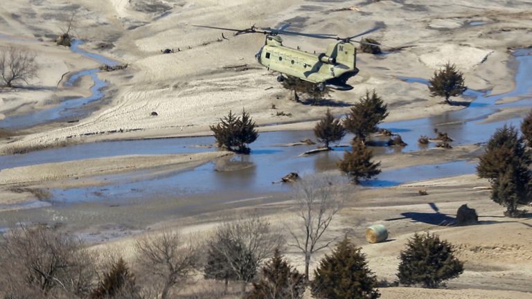
It is expected to bring more flooding to areas like South Dakota's Pine Ridge Indian Reservation which is home to nearly 20,000 people.
More from United States
"Damage is going to be in the hundreds of millions," tribal spokesman Chase Iron Eyes said.
"Things are beginning to dry out, but now there's a huge blizzard predicted.
"On this reservation, it's kind of a constant crisis the way we live here, and these disasters just put us in a perilous position."
The heaviest-hit areas are expected to be from southeastern Wyoming through Nebraska and South Dakota into southern Minnesota.
Snow is forecast in parts of the Great Lakes, with rain stretching from the central Plains east into the Middle Mississippi Valley and Western Ohio Valley.


